Dendra e Midea
Sebbene il sottotitolo citi Midea, ne approfondiremo i dettagli in un'altra pagina. Il riferimento è d'obbligo, poiché Dendra fungeva con ogni probabilità da necropoli per la cittadella di Midea.
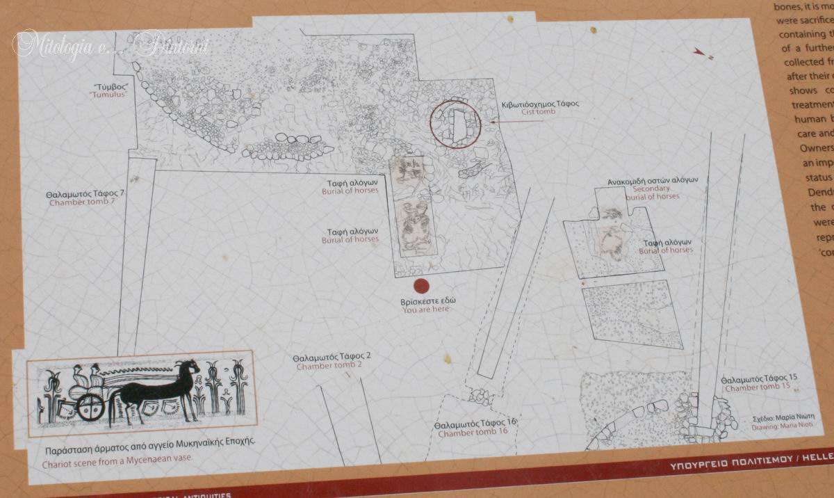
I vicini siti di Dendra e Midea (Δένδρα - Μῐδέα) si trovano nell'Argolide settentrionale, a circa sei chilometri a est della città di Argo. Presso Dendra sono stati rinvenuti resti di insediamenti risalenti al Neolitico antico e al primo periodo Elladico, oltre a sepolture di varie fasi dell'Età del Bronzo. Midea sorge su un'altura di 270 metri, a circa due chilometri a est di Dendra, dove archeologi tedeschi effettuarono le prime indagini già nel 1907. Data la breve distanza, si ipotizza che gli abitanti dell'acropoli di Midea utilizzassero Dendra come luogo di sepoltura, data la stretta connessione tra i due siti.
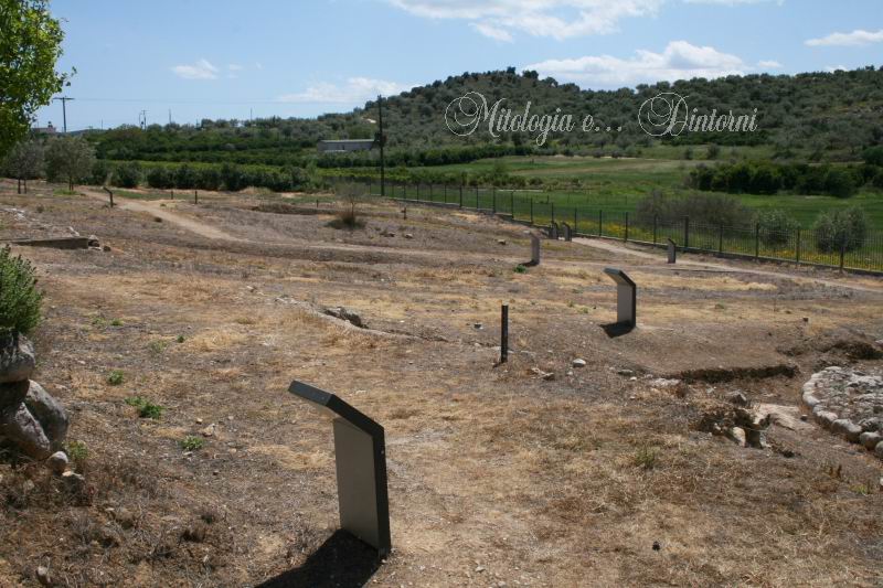
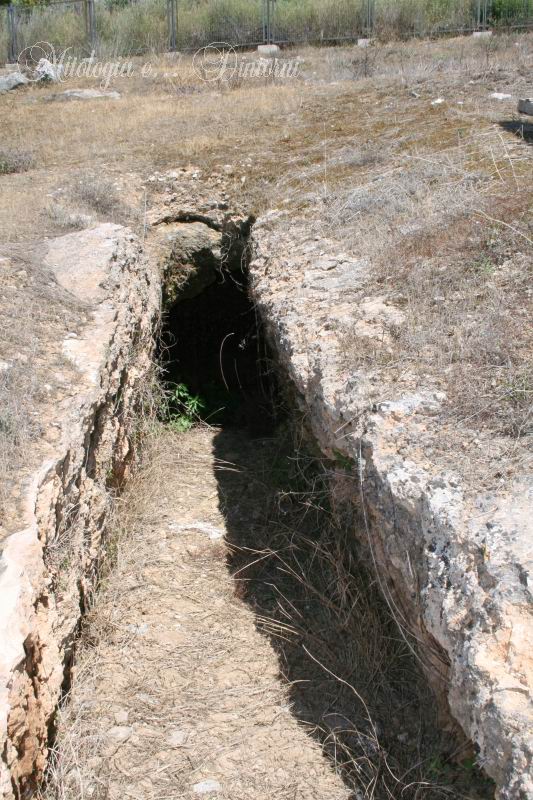
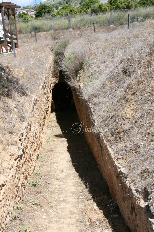
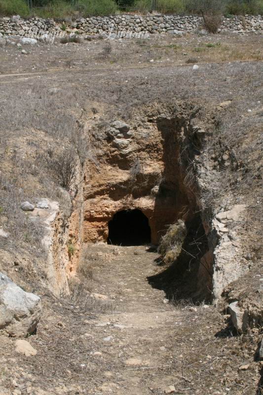
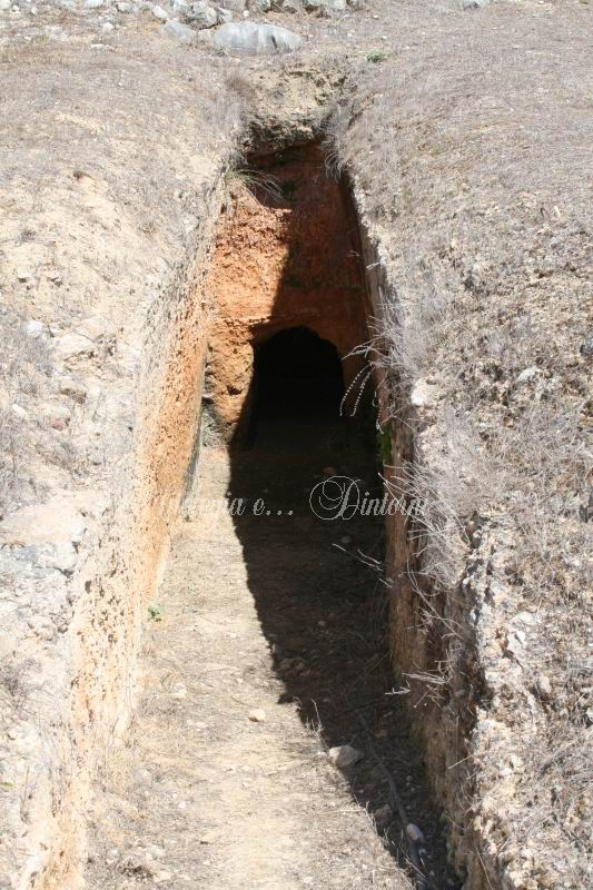
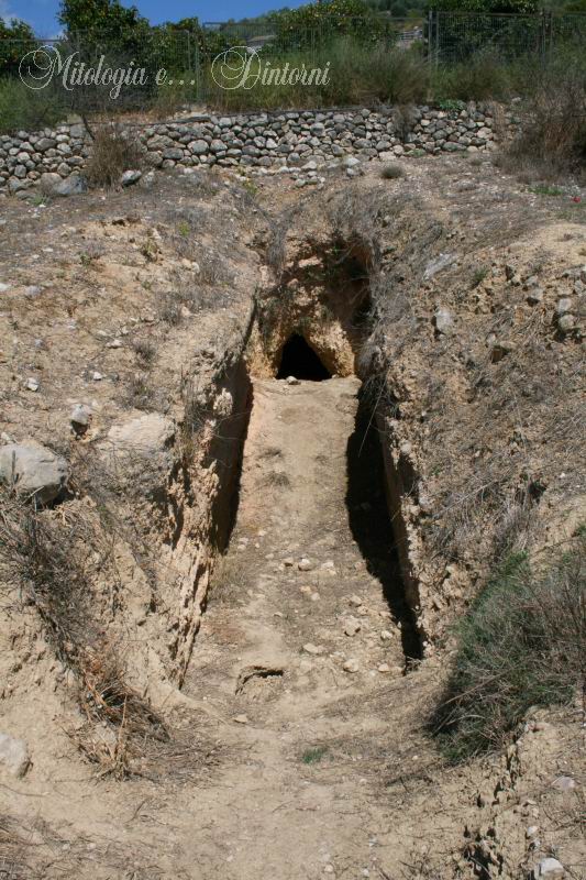
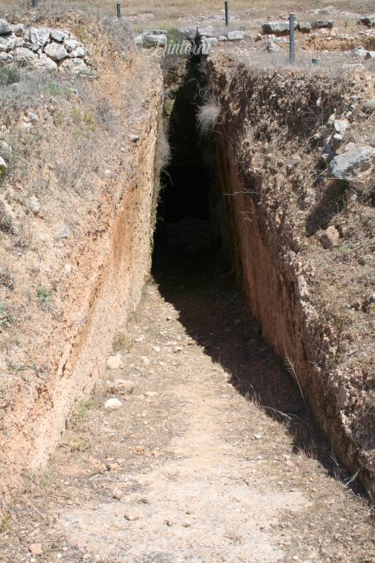
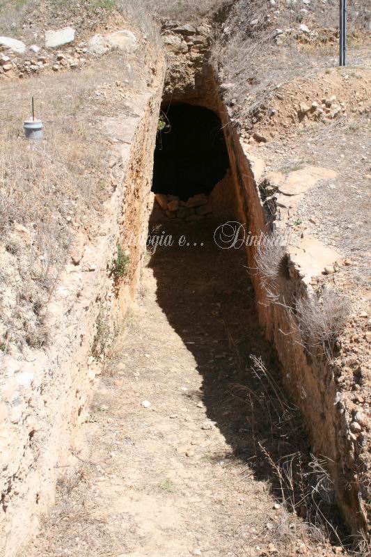
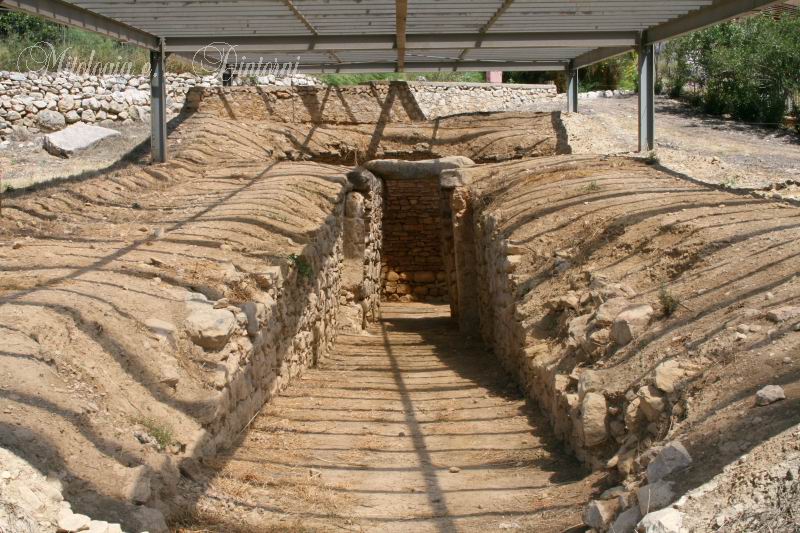
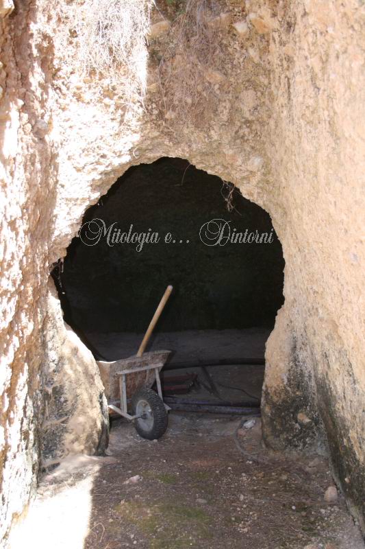
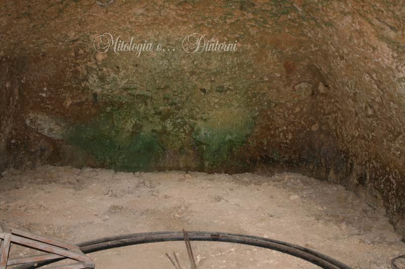
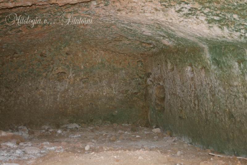
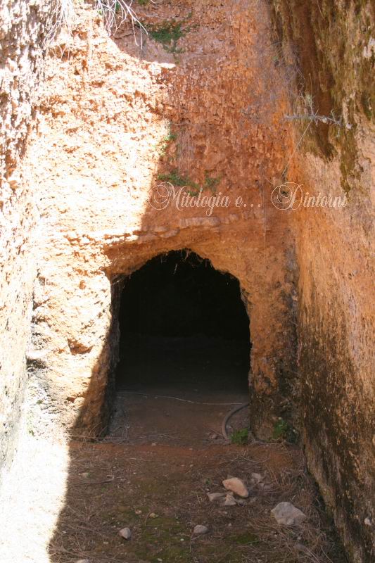
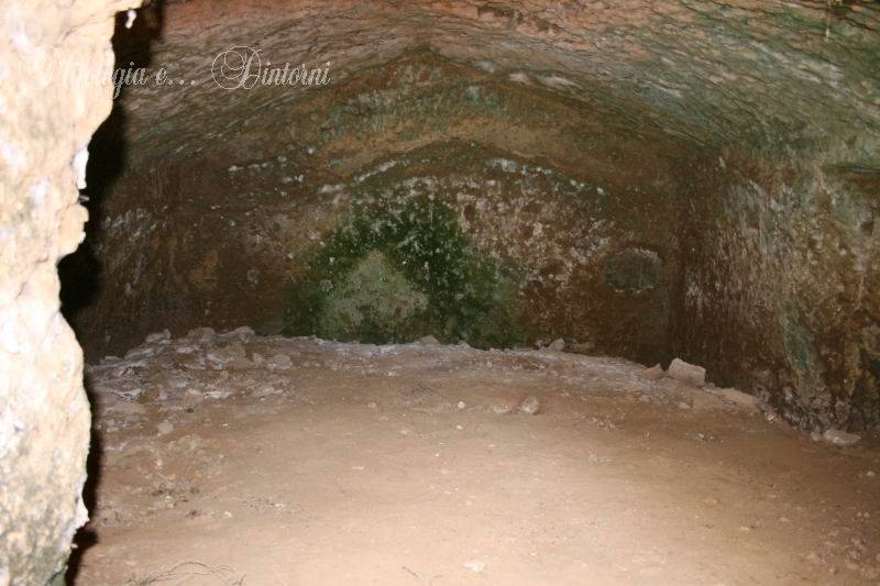
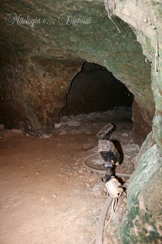
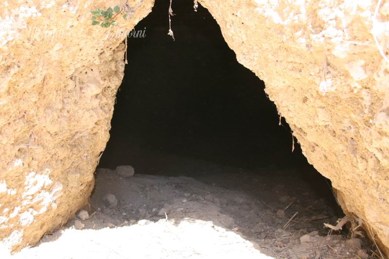
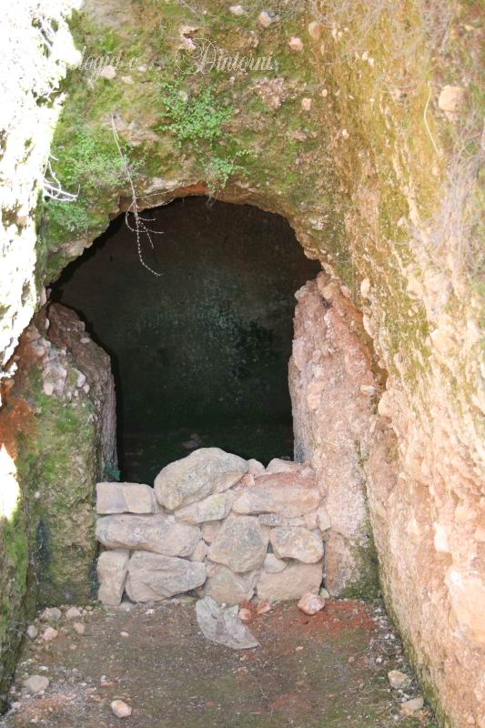
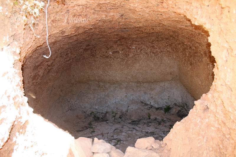
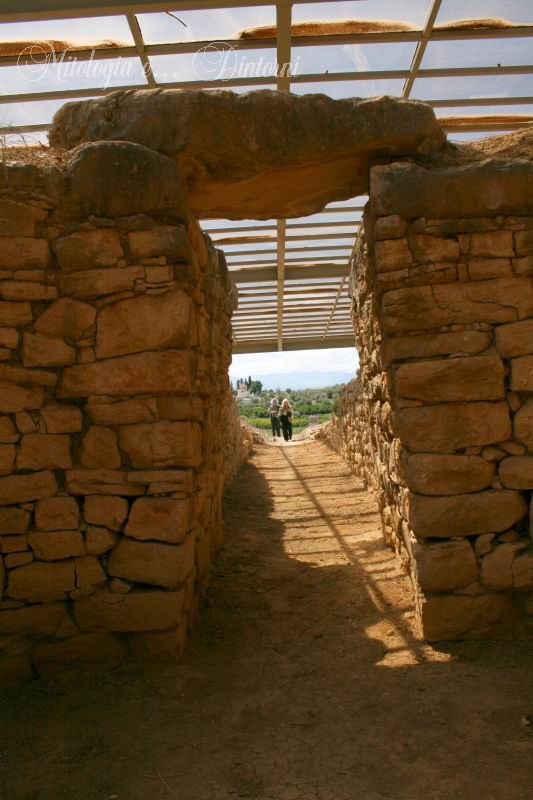
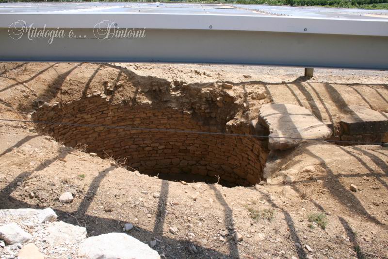
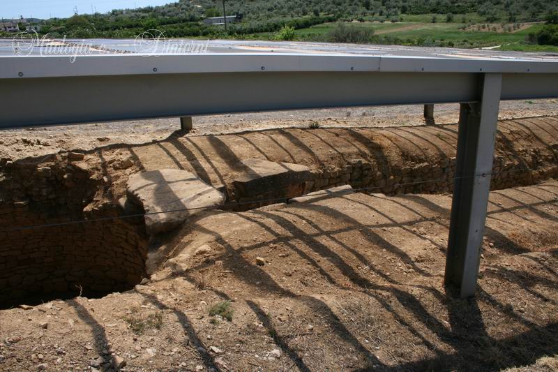
Nel 1926, l'archeologo svedese Axel W. Persson iniziò gli scavi a Dendra portando alla luce una tomba a tholos micenea. Emerse subito la presenza di una vasta necropoli con numerose tombe a camera coeve, scavate negli anni successivi con la collaborazione degli efori di Nauplia.
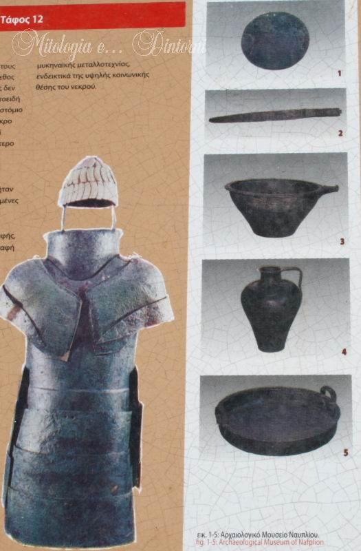
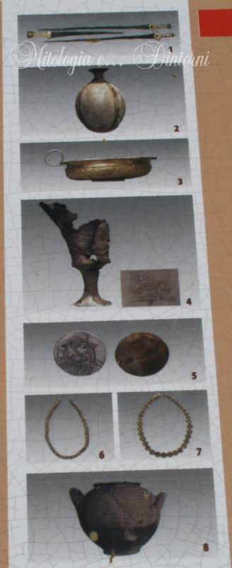
Già durante la prima stagione di scavi, Persson identificò Midea come una cittadella fortificata micenea. Entro il 1939 era stato delineato il perimetro delle mura, ripulita l'area della Porta Est e condotti saggi sul pianoro superiore e sulle terrazze inferiori. I risultati furono pubblicati nei volumi Le Tombe Reali di Dendra presso Midea (1931) e Nuove tombe a Dendra (1942). Le ricerche, interrotte dalla Seconda Guerra Mondiale, furono riprese da Paul Åström. Insieme a Verdelis, allora Eforo di Nauplia, Åström scoprì la celebre "Tomba della Corazza", dove fu rinvenuta la panoplia in bronzo oggi esposta al Museo di Nauplia.
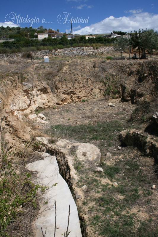
Dopo vent'anni di interruzione, nel 1983 una missione congiunta greco-svedese, diretta da Katie Demakopoulou e Paul Åström, ha ripreso le indagini concentrandosi sull'interno della cittadella e sulle due porte. Il pianoro sommitale è stato lasciato intatto a causa dell'avanzata erosione del sito.
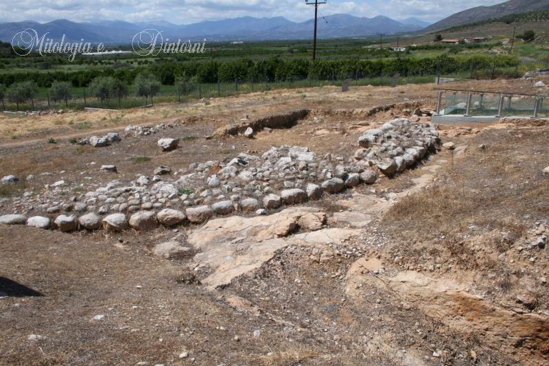
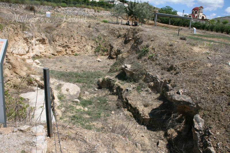
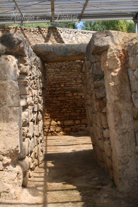
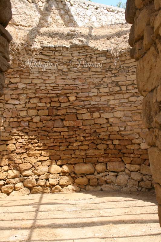
Dalla pianura dell'Argolide, le imponenti mura della cittadella di Midea (risalenti al 1200 a.C. circa) sono visibili già da lontano. Secondo Persson, sul punto più alto sorgeva un megaron miceneo; tuttavia, i tagli nella roccia individuati nel 1939 sono oggi difficili da verificare a causa della fitta vegetazione e dell'erosione del substrato roccioso.
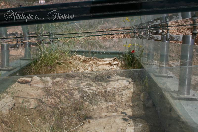
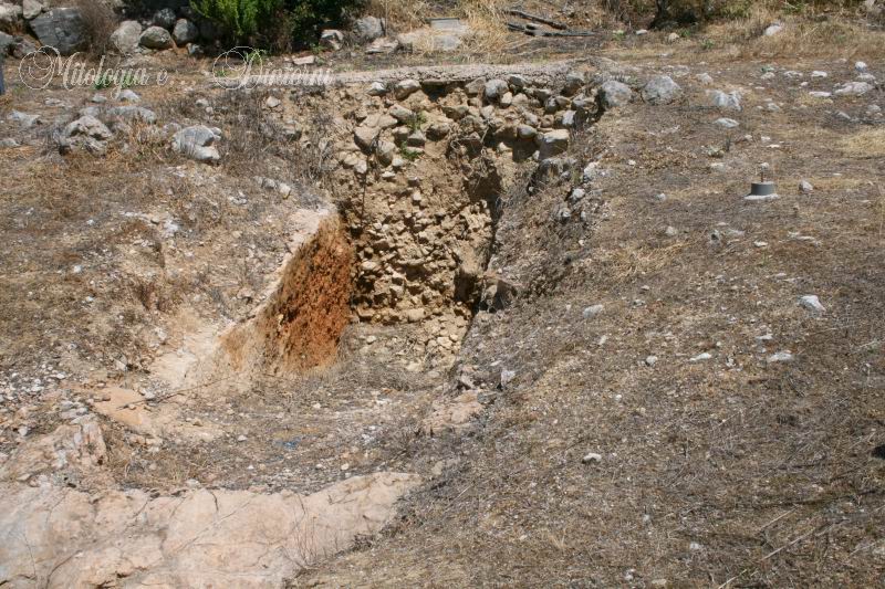
Gli scavi iniziati nel 1983 si sono concentrati sulle Porte Est e Ovest. Qui è stata rinvenuta un'ingente quantità di materiali, sebbene gli strati superficiali risultino rimescolati dal dilavamento dei livelli superiori. I reperti ceramici coprono un arco cronologico vastissimo: dal Neolitico finale al periodo medievale, passando per tutte le fasi dell'Età del Bronzo. Si osservano tracce di frequentazione in epoca arcaica, classica ed ellenistica, oltre a resti di insediamenti di epoca romana e bizantina.
Oltre alle mura, le indagini sulle terrazze inferiori del settore orientale, dirette da Gisela Walberg, hanno rivelato un imponente edificio a pianta rettangolare. I risultati di questi lavori sono stati pubblicati nel 1998. In diversi punti di Midea è stata documentata una grave distruzione avvenuta intorno al 1200 a.C., subito dopo la costruzione delle mura. Lo strato di cenere, carbone e terra grigia testimonia un incendio devastante; non conosciamo con certezza la causa, ma potrebbe essere l'esito di un violento terremoto o di un attacco nemico.
Per il futuro, la missione svedese intende proseguire le indagini nel settore orientale della cittadella, in particolare presso la Porta Est, con l'obiettivo di individuare nuove strutture abitative preistoriche e approfondire la frequentazione del sito in epoca storica.
Per approfondire visita il sito dell'Istituto svedese ad Atene.
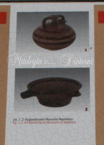
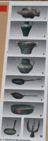
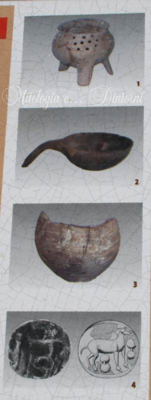
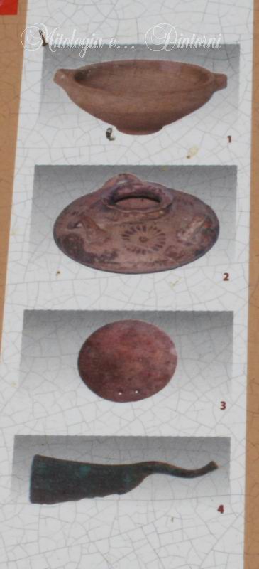
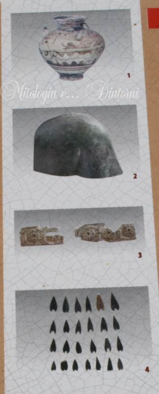
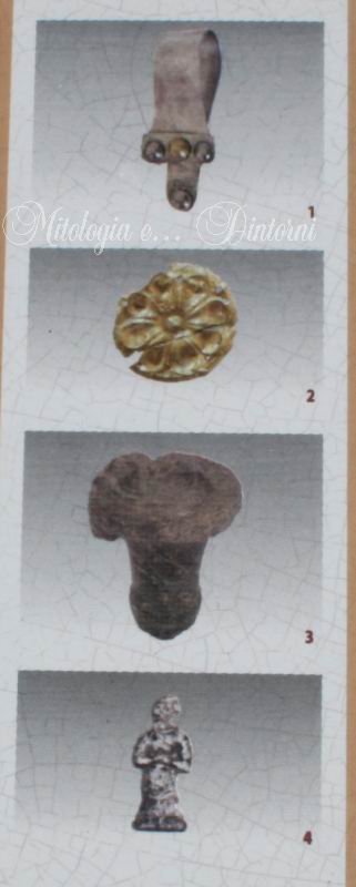
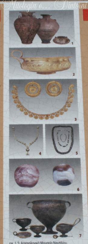
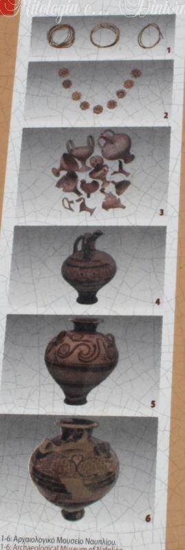
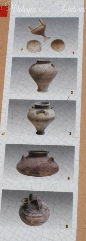
Nelle immagini sottostanti, cliccando su "reperti", è possibile visualizzare una panoramica degli oggetti rinvenuti nella tomba. È inoltre possibile consultare il dettaglio dei reperti nella sezione Musei alla voce Nauplia.
Foto di Rodolfo Furneri